

NewYork navigation rewards planning and street smarts; I’ll guide you through subways, buses, bikes, taxis and walking strategies so you can save time and avoid common pitfalls. I show how to use MetroCard or OMNY, read subway maps, choose fastest routes, spot rush-hour patterns, transfer efficiently and combine modes to maximize your day. Follow my tips to keep your trips smooth, safe, and cost-effective while exploring neighborhoods like a local.
Navigating the Subway
I ride the subway often and I use service patterns to save time: the system runs 24/7, weekday rush is roughly 7-9am and 4-7pm, and express trains can cut 10-20 minutes on long north‑south trips. I check MTA alerts and Citymapper for weekend track work that reroutes lines, and I position myself by car‑length signs on the platform to exit near the stairs or elevator at busy transfer stations.
Understanding the Subway Map
I read the color-coded map by trunk: 1/2/3 (Broadway), 4/5/6 (Lexington), A/C/E (8th Ave) to trace likely routes through Manhattan and into the boroughs. I use major hubs-Times Sq-42 St, 14 St-Union Sq, Atlantic Ave-to plan transfers and watch terminal names (e.g., 242 St, Far Rockaway) so I board the train going the right direction when lines split.
- Use trunk colors to quickly identify Manhattan north-south routes.
- Check dotted lines and labels for limited or rush‑hour branches.
- Recognizing terminal names tells you which direction the train is heading when lines split.
Tips for Ticket Purchase and Fares
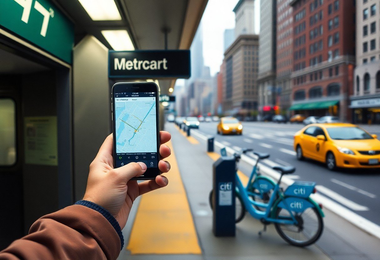
I prefer OMNY contactless tap for speed-tap your phone, wearable, or card at the turnstile; the base fare is $2.90 and a 7‑day unlimited MetroCard runs about $34. I still carry a MetroCard for occasional kiosks or when my device battery dies, and station machines accept cash and card for value or unlimited passes.
I check balances and reload before travel: OMNY records trips in the app and you can add your card to your phone wallet, while MetroCard machines let you add value or buy unlimited passes. Transfers between subway and local buses are free with OMNY or MetroCard; express buses require an extra fare. I enroll in reduced‑fare if eligible (seniors 65+ or disability) and I confirm current prices at mta.info before multi-leg trips.
- Tap OMNY to avoid lines and preserve seamless transfers between bus and subway.
- Buy a 7‑day unlimited if you’ll take more than 12 rides a week-break‑even is roughly 12 rides at $2.90 each.
- Recognizing planned service changes can alter which transfers work best, I always check scheduled work before relying on a single route.
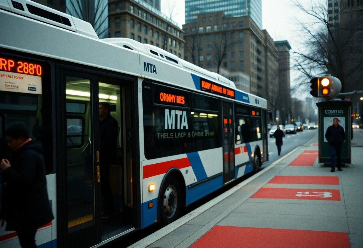
Buses: A Convenient Alternative
I use MTA buses when the subway doesn’t drop me close enough; the base fare is $2.90 via OMNY and transfers are free within two hours, so buses can be cost-effective. Select Bus Service (SBS) speeds trips with off-board payment and dedicated lanes-M34-SBS on 34th St and M60 to LaGuardia are good examples. Expect headways of roughly 6-12 minutes on busy SBS lines and 10-20 minutes on many locals, so check live arrivals before you step outside.
How to Read Bus Schedules
I read schedules by focusing on timepoints and headways rather than every stop; schedules list key timepoint stops (e.g., Penn Station, 34th St) and show peak vs. off-peak frequency. For instance, an SBS route may list 4-8 minute peak headways while a local shows 12-20 minutes. I always cross-check with MTA BusTime or Google Maps for real-time arrival instead of relying solely on printed timetables.
Best Routes for Tourists
I suggest M34-SBS for access to Penn Station and Herald Square, M79 to cross Central Park between Museum Mile locations, and the Q70 or M60 for direct links to LaGuardia; Bx12-SBS serves Bronx attractions and easy subway transfers. These lines stop near major sights so you can minimize walking with luggage and hit more spots in less time.
Specifically, I rely on M34-SBS to reach the Empire State and Macy’s quickly-off-board payment cuts boarding time-while the M79 drops you within 1-3 blocks of both the Met and the American Museum of Natural History. The Q70 LaGuardia Link connects to Jackson Heights/74 St transit hubs (7, E, F, M, R) for smooth airport transfers, and Bx12-SBS links to Fordham Road subway connections for Bronx destinations; paying at curbside machines and boarding any door on SBS lines keeps my schedule tight.
Taxis and Rideshares
Hailing a Taxi in NYC
When you need a yellow cab, I watch for the illuminated roof light and hail from the curb; if none appear I use the Curb or Arro app to summon one. Yellow medallion taxis accept cards, run meters, and offer a $70 flat fare from Manhattan to JFK (plus tolls and tip). I avoid expecting street-hail reliability late at night in outer boroughs and prefer app pickups when time matters.
Choosing Between Rideshare Options
I compare UberX and Lyft for the cheapest direct rides-typical short Manhattan trips run about $8-20 off-peak-then upgrade to XL for groups or Black for a premium driver. Surge multipliers often hit 1.5-3× during rush hours, so I check both apps, consider shared rides if I’m willing to sit through detours, and schedule airport runs to lock a price.
I also weigh wait times, cancellation fees and baggage: I pick pooled rides if I’m solo and tight on cash, but pooling can add 10-25 minutes. You can split fares in-app, tip drivers, and expect waits of 2-8 minutes in Manhattan for base services. For airport trips I use designated rideshare pickup zones at JFK and LaGuardia and factor in occasional airport surcharges when comparing total cost.
Biking Around the City
I favor bikes for short hops and cross-borough trips when I want speed and flexibility; the Hudson River Greenway gives me an 11-mile protected run, and I aim for 10-15 mph in mixed traffic to match flow without risking surprises. I check bike lanes on my route-protected lanes, painted lanes, and contraflow streets change block by block-so your route choice cuts hassle and time.
Understanding the Bike Share Program
I use the city’s bike-share for one-way trips across Manhattan, Brooklyn, Queens, parts of the Bronx and Jersey City; the system is dock-to-dock, the app shows real-time availability, and common trips stay under the typical 45-minute allotment to avoid extra fees. You can buy single rides or short-term memberships, and I watch station patterns (morning eastbound, evening westbound) to plan returns.
Safety Tips for Cyclists
I ride with a properly sized helmet (required for riders under 14), front white and rear red lights after dusk, and reflective gear; I keep 3-4 feet from parked cars to avoid dooring, signal 3 seconds before turns, and treat bus and truck blind spots with caution. I also check brakes and tires before longer rides and slow at busy intersections.
- Fit your helmet snugly and replace after any hard impact.
- Use steady white front and red rear lights between dusk and dawn; visibility matters more than speed.
- Signal with clear hand signals; make eye contact with drivers at intersections.
- Scan doors on parked cars and give buses extra room when they’re at stops.
- After I finish a ride I lock to a fixed rack and note the station number to avoid loss or tickets.
I expand my safety routine by practicing intersection techniques: I use a two-stage left when lanes are narrow, shoulder-check before pulling into a lane, and signal well in advance; I practice emergency stops in a quiet block and keep speed down near heavy pedestrian traffic. I also take occasional classes from local bike co-ops or DOT workshops to refine handling and learn collision-avoidance drills.
- At busy intersections I position myself where drivers can see me and avoid blind spots.
- Use a bell or verbal alert when passing pedestrians on mixed-use paths.
- Keep tire pressure and brake pads checked weekly for predictable stopping.
- Learn and practice a quick emergency stop technique at low speed before trying it during commutes.
- After you encounter a persistent hazard-pothole, missing sign, or blocked lane-I file a 311 report so the city can fix it.
Walking: The Best Way to Explore
I find walking reveals neighborhood character fast; Manhattan’s grid yields about 20 north-south blocks per mile, so I plan by block counts and expect a 3-4 mph pace. I pack supportive shoes, water, and a portable charger, and I use the High Line or Central Park’s 6.1-mile loop for longer, scenic strolls. When I walk, I stop at bodegas, brownstones, and corner cafes to soak up local detail and time my route around peak transit hours.
Recommended Walking Tours
I recommend the High Line (1.45 miles) for architecture and Hudson River views, the Brooklyn Bridge into DUMBO for skyline photos, a West Village food crawl with 3-5 stops over 1-2 miles, and a 2-mile Lower Manhattan loop that hits Wall Street and the 9/11 Memorial. I book small-group guided walks of 8-15 people when I want local history and shortcuts that solo maps miss.
- Match tours to your interests-art, food, or history-to get more from a 1-3 mile route.
- Bring a refillable bottle and portable charger; many downtown stops don’t have seating.
- Book early-morning slots to avoid crowds; summer midday heat can push walking comfort below 60%.
- Knowing neighborhood rhythms (rush hour, weekend markets) helps you pick the best time for photos and fewer crowds.
Safety and Navigation Tips
I watch pedestrian countdown signals and obey crosswalks since turning vehicles can be fast; I keep my phone stowed while crossing and choose well-lit avenues after 9 pm. I use Citymapper or Google Maps with offline Manhattan and Brooklyn maps saved, set walking speed at about 3 mph for accurate ETAs, and carry identification plus a small first-aid kit. I also wear visible layers when I’m out after dark and keep emergency contacts in an easy-access contact card.
- Cross at marked intersections and make eye contact with drivers before stepping off the curb.
- Keep valuables in front pockets and use discreet bags; avoid flashing cameras or jewelry at night.
- Share your ETA with someone if you plan to walk more than 2 miles through unfamiliar areas.
- Knowing peak event times (sports, parades) lets you avoid sudden detours and crowded sidewalks.
I pay attention to street numbers to estimate distance-about 20 blocks per mile-so a 10-block walk is roughly half a mile, and I head toward major avenues like Broadway or Fifth if I need a clear landmark. I switch to a short subway or taxi when weather or light changes; in Manhattan an Uber or Lyft ETA is often under five minutes during non-peak times. I also scan for official wayfinding signs and subway entrances when my phone battery is low.
- Use subway stations as reliable anchors for rerouting and asking staff for local alerts.
- Carry a compact rain shell and a small LED light in winter; river breezes change conditions quickly.
- Avoid isolated park paths at night and stick to busier, well-lit corridors after sunset.
- Knowing city event calendars (marathon, parades) ahead of your trip helps you plan routes that stay efficient and safe.
Accessible Transportation Options
I rely on a mix of services to navigate NYC: more than 130 subway stations now have elevators, nearly all MTA buses are wheelchair-accessible, and paratransit plus WAV taxi and ride‑hail options fill gaps. I advise you to combine subway elevators, accessible bus routes, and on‑demand WAVs from Uber/Lyft or wheelchair yellow cabs when planning a trip with specific transfer points and elevator availability in mind.
Options for Travelers with Disabilities
If you need door‑to‑door service, I recommend applying for Access‑A‑Ride (MTA paratransit) to get scheduled shared rides; eligibility requires an application and certification. I also use wheelchair‑accessible taxis and WAVs from ride‑hail apps for shorter or last‑minute trips, and your mobility device fits on most buses, so plan bus segments when elevator reliability is a concern.
Resources for Planning Accessible Routes
I use the MTA’s Accessible Stations map and real‑time elevator status first, then cross‑check with Google Maps’ wheelchair transit filter and Citymapper’s step‑free option to see transfer paths and walking distances. You can also consult NYC Open Data station accessibility layers and disability‑focused apps like Wheelmap to verify entrances and ramps before you head out.
For deeper planning I pull the MTA elevator outage feed and the Accessible Stations PDF to flag stations with frequent closures, then map alternatives that keep transfers on accessible lines. I recommend saving station entrance photos from Google Street View, noting elevator locations (street corner vs. mezzanine), and pre‑booking Access‑A‑Ride or WAVs for trips that hinge on a single elevator working.
Final Words
With this in mind, I use the subway and buses for speed, walk short distances to soak in neighborhoods, take rideshares when luggage or late nights demand, and bike for flexible routes; you should carry a MetroCard or use OMNY, check live transit apps, and plan off-peak travel so your time in New York is efficient and enjoyable.